


grade delmar

fario
User
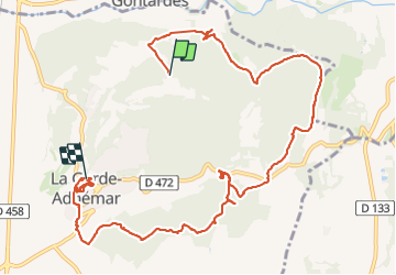

Length
12.6 km

Max alt
233 m

Uphill gradient
299 m
Km-Effort
16.6 km

Min alt
83 m

Downhill gradient
285 m
Boucle
No
Creation date :
2023-11-23 09:14:08.079
Updated on :
2023-11-23 14:51:22.93
5h36
Difficulty : Difficult

FREE GPS app for hiking
 SityTrail
IGN / Geographical institutes
SityTrail Plus
The world is yours!
About
Trail Walking of 12.6 km to be discovered at Auvergne-Rhône-Alpes, Drôme, La Garde-Adhémar. This trail is proposed by fario.
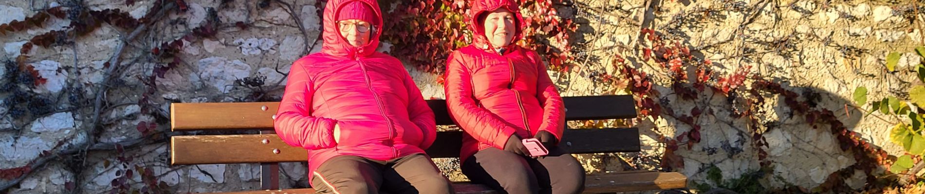
Photos


Positioning
Country:
France
Region :
Auvergne-Rhône-Alpes
Department/Province :
Drôme
Municipality :
La Garde-Adhémar
Location:
Unknown
Start:(Dec)
Start:(UTM)
640668 ; 4918453 (31T) N.
Comments